Fortsetzung der Diskussion von Freier Zugriff auf MapQuest-Karten wird eingestellt (meshviewer):
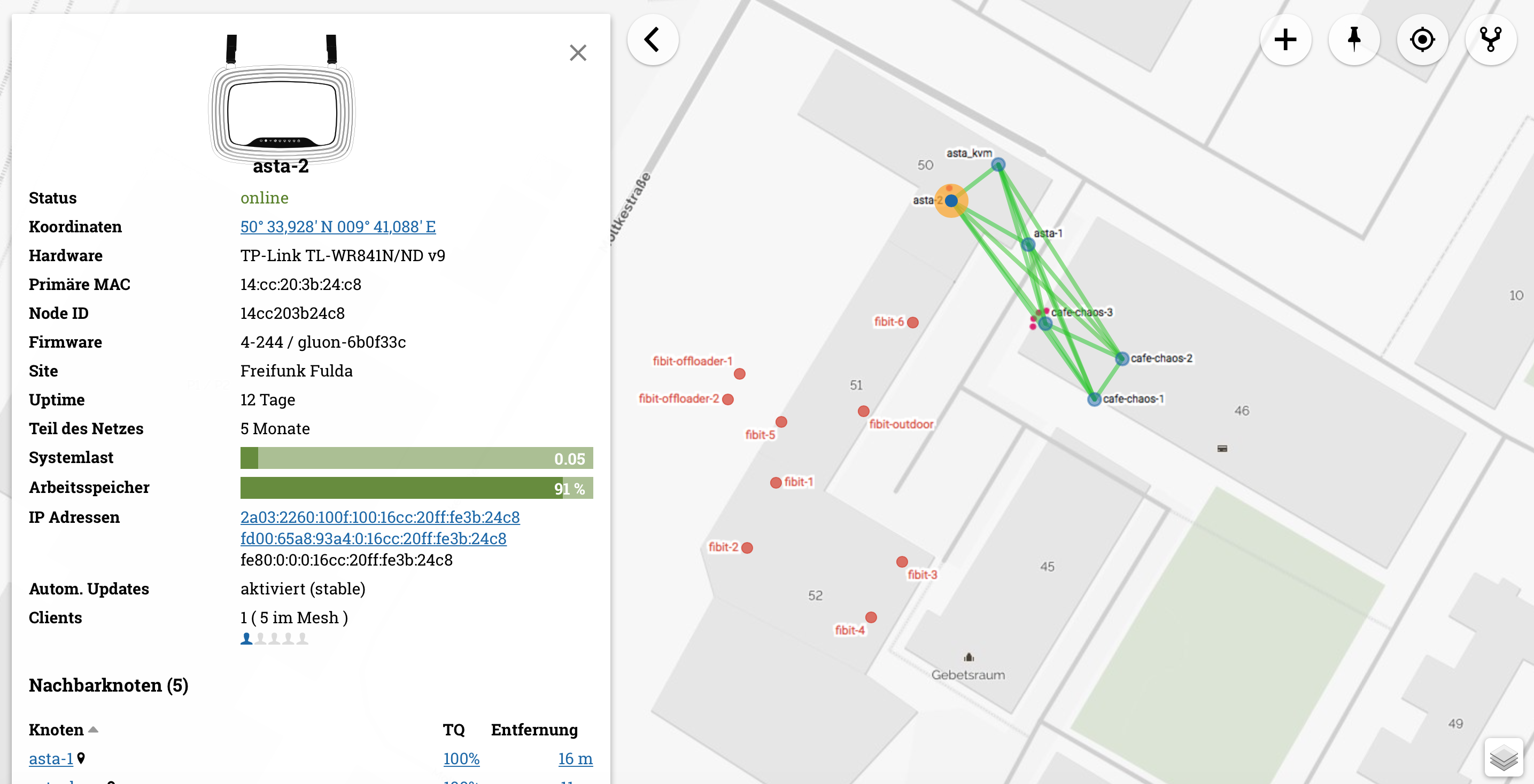
vielleicht sammeln wir mal potentielle Sourcen für die config.json im meshviewer … idealerweise mit bild – ich lege mal vor …
{
"name": "CartoDB (DarkMatter) http only",
"url": "http://{s}.basemaps.cartocdn.com/dark_all/{z}/{x}/{y}.png",
"config": {
"subdomains": "abcd",
"attribution": "Tiles © <a href=\"http://www.openstreetmap.org/copyright/\">OpenStreetMap</a> © <a href=\"http://cartodb.com/attributions/\">CartoDB</a>",
"maxZoom": 18
}
},

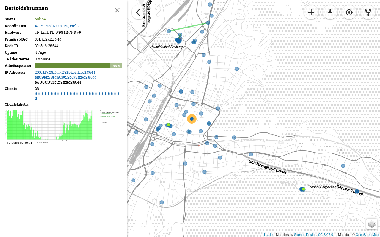
    {
      "name": "Stamen.TonerLite"
    }
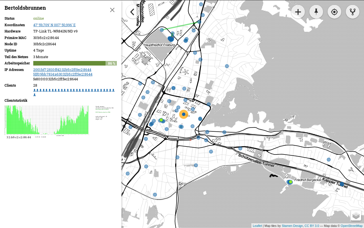
    {
      "name": "Stamen.Toner"
    }
,
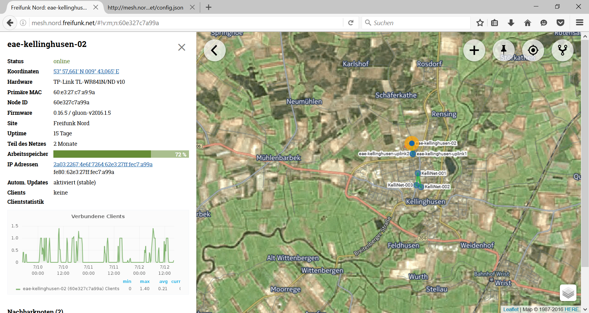
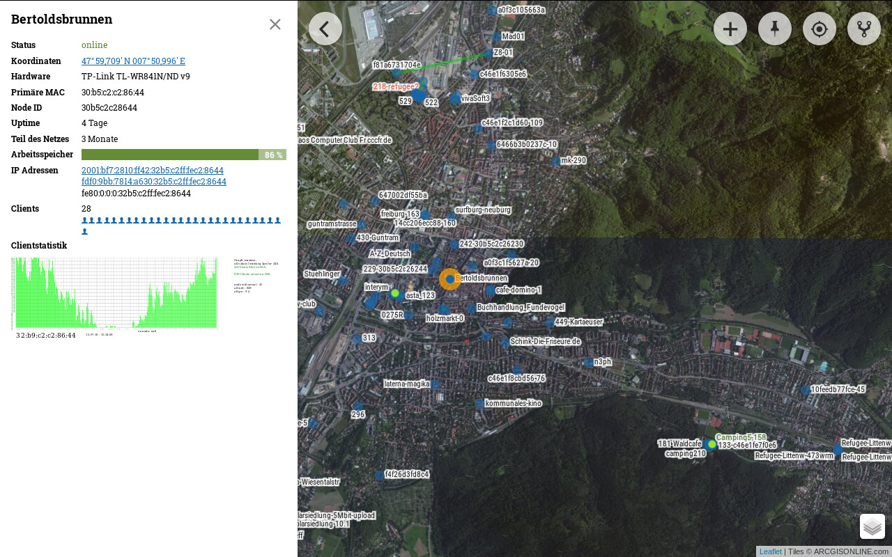
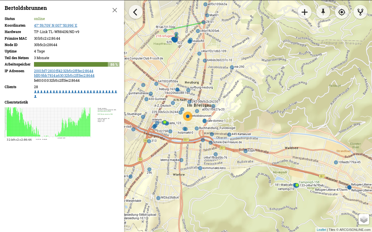
{ "name": "arcgisonline-Imagery",
      "url": "https://server.arcgisonline.com/ArcGIS/rest/services/World_Imagery/MapServer/tile/{z}/{y}/{x}",
      "config": {
        "subdomains": "1234",
        "type": "osm",
        "attribution": "Tiles © ARCGISONLINE.com",
        "maxZoom": 18
      }
    },
{
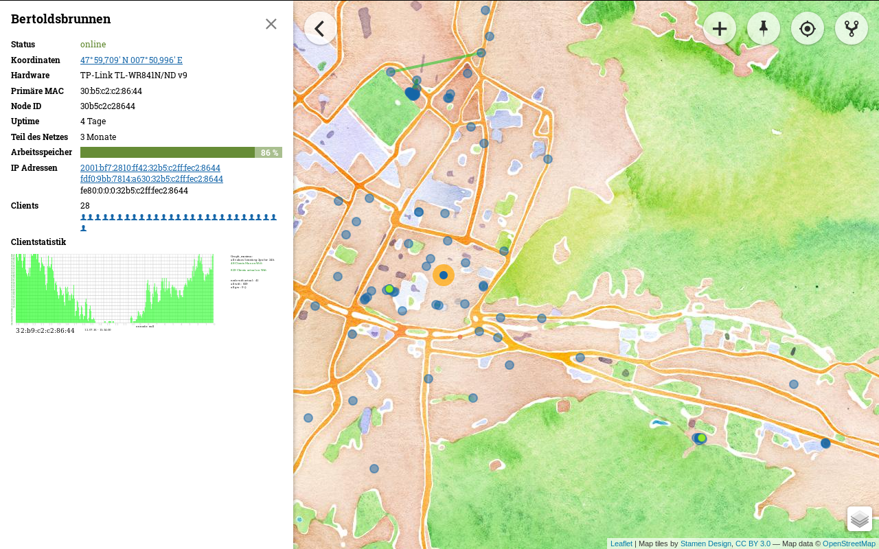
"name": "Stamen.Watercolor"
}
,
{ "name": "arcgisonline",
      "url": "https://server.arcgisonline.com/ArcGIS/rest/services/World_Street_Map/MapServer/tile/{z}/{y}/{x}",
      "config": {
        "subdomains": "1234",
        "type": "osm",
        "attribution": "Tiles © ARCGISONLINE.com",
        "maxZoom": 19
      }
    },
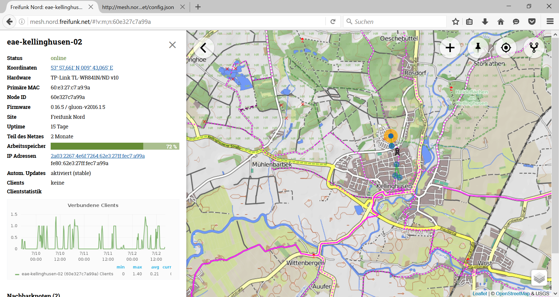
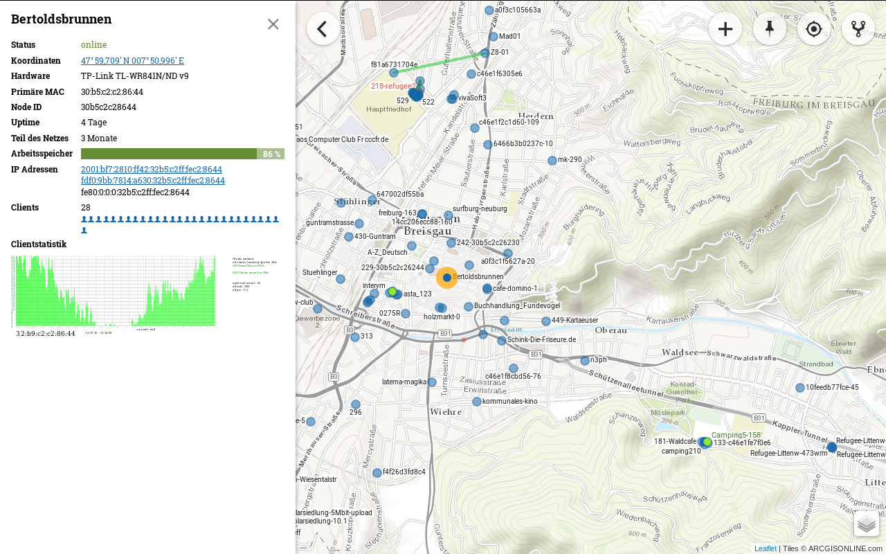
{ "name": "arcgisonline-topo",
      "url": "https://server.arcgisonline.com/ArcGIS/rest/services/World_Topo_Map/MapServer/tile/{z}/{y}/{x}",
      "config": {
        "subdomains": "1234",
        "type": "osm",
        "attribution": "Tiles © ARCGISONLINE.com",
        "maxZoom": 19
      }
    },
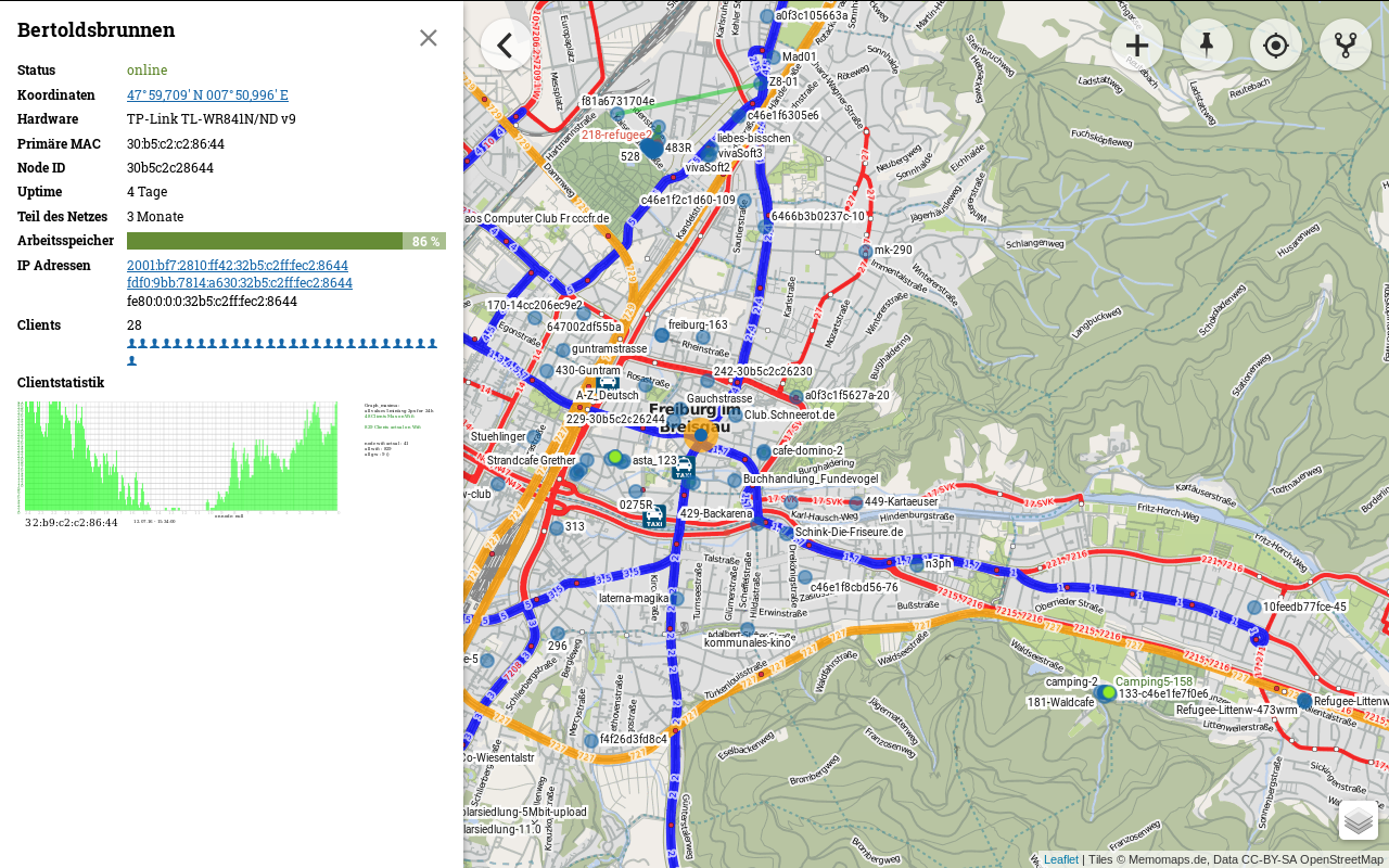
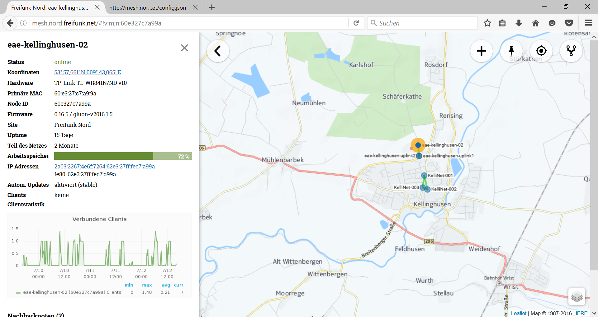
   { "name": "ÖPNV Map",
      "url": "http://tileserver.memomaps.de/tilegen/{z}/{x}/{y}.png",
      "config": {
        "subdomains": "1234",
        "type": "osm",
        "attribution": "Tiles © Memomaps.de, Data CC-BY-SA OpenStreetMap",
        "maxZoom": 18
      }
    },